
Noord weather: temperature and rain through the year
Noord weather is warm throughout the year, but rainfall and wind still matter when arranging a beach or sailing day. The monthly figures here come from the Aruba meteorological service’s climate normals for 1991 to 2020. They describe the island as a reference and are not a separate measurement series for a Noord beach.
Use the averages to compare months, then use current weather information for the day itself. A mean daily maximum describes a long-term pattern rather than a promised afternoon temperature. The same applies to rainfall: a monthly total describes a long-term pattern rather than the timing of showers during your own visit. For choosing dates rather than reading the data, see the best-time-to-visit guide.
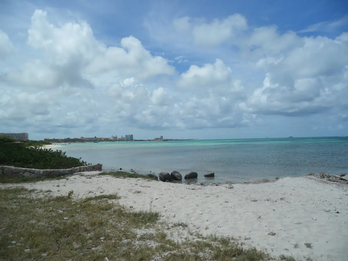
Reading the monthly temperature and rainfall table
The maximum and minimum columns are mean daily temperatures, not record extremes. Rainfall is given in millimetres for each month. This is a historical climate reference, retrieved on 10 November 2026, rather than a forecast. Keep those definitions with the figures when comparing different months or discussing them with travelling companions.
April has the lowest monthly rainfall in this table and November the highest. That difference is useful for choosing a broad weather preference, but a lower average still allows rain. Read temperature and rainfall together rather than using a single figure to decide whether every planned activity will suit a particular month.
Monthly climate reference for Aruba
| Month | Mean daily maximum °C | Mean daily minimum °C | Rainfall mm |
|---|---|---|---|
| January | 30.3 | 24.8 | 44.0 |
| February | 30.6 | 24.8 | 19.5 |
| March | 31.1 | 25.3 | 10.0 |
| April | 31.9 | 26.0 | 8.6 |
| May | 32.0 | 26.7 | 14.1 |
| June | 32.5 | 26.9 | 17.4 |
| July | 32.4 | 26.7 | 31.4 |
| August | 33.2 | 27.2 | 19.6 |
| September | 33.2 | 27.3 | 42.9 |
| October | 32.4 | 26.7 | 76.5 |
| November | 31.5 | 26.0 | 87.1 |
| December | 30.7 | 25.3 | 80.1 |
A morning on the water
For a weather-dependent activity, this morning sail includes snorkeling equipment and breakfast.
Hand-picked tours, booked through Viator. Prices are indicative starting prices in US dollars (as of November 2026). Tap a tour for live availability and the current price in your currency.
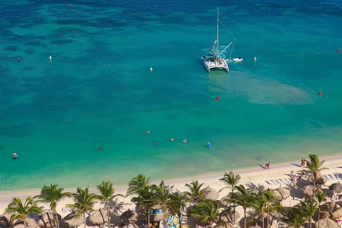
A morning sailing and snorkelling option
The Palm Beach departure includes breakfast, snorkelling equipment and instruction, life jackets and an open cocktail bar; the outing remains weather dependent.
Trade winds and differences between coasts
The meteorological service describes a warm, semiarid tropical climate with a persistent moderate to strong easterly wind. Wind is therefore part of the setting, not simply something associated with rain. Consider it alongside the sea state when choosing a boat trip or a beach, particularly if time in the water is central to your plans.
The tourism authority generally distinguishes the calmer western and southern shores from the windier, rougher northern and eastern coasts. That comparison is an orientation aid, not a daily swimming clearance. At Malmok, rocky sections also affect the entry you choose. Use the snorkelling guide to understand the activity choices, then follow local guidance on conditions.
Weather or climate: planning a specific outing
Climate helps you select a month; weather helps you decide what to do on a particular day. Keep a land-based alternative in your plan when arranging time on the sea. The Palm Beach morning sailing option featured here includes breakfast, snorkelling equipment with instruction, safety life jackets, an open cocktail bar and captain and crew. An early departure is a schedule choice rather than a promise of calmer water.
For a beach day, bring a refillable water bottle and use appropriate sun protection. The tourism authority recommends mineral sunscreen, while oxybenzone-containing sunscreen products are prohibited under the environmental guidance. Keep water entry and sun exposure as separate decisions: the presence of clouds does not tell you whether a rocky entry or a boat outing suits the conditions.
For a drive or a different setting, read about the California Lighthouse and Alto Vista. Keep their current visit information separate from climate planning. For an excursion outside Noord to the Natural Pool, use the Jeep guide: waves can wash over the rocks, and the pool stop and swimming depend on conditions.
Tropical storms and coastal effects
Aruba lies at the southern edge of the hurricane belt according to the meteorological service. Cyclones passing to the north can still cause erosion or coastal flooding. A climate chart is therefore unsuitable for declaring a month free of tropical-storm effects. Keep current official weather information in your plans whenever conditions are unsettled.
For seasonal context, the DMA climate description places the drier period approximately from February to June and the wetter period from September to January. These are broad climate patterns, rather than boundaries that change the weather overnight. They also say nothing by themselves about room prices, boat capacity or which departures will run.
Questions about Noord’s climate
Is this a live forecast for Noord?
It is a historical island climate reference for 1991 to 2020. Use current forecasts and local guidance for your own beach day or departure.
Does an April trip mean no rain?
April has the lowest average monthly rainfall in the DMA table. That makes it useful for comparing months, while leaving room for showers during an individual stay.
What matters for a morning snorkelling trip?
A morning departure identifies the timing of an activity. Wind, waves and the day’s conditions still determine how a trip and time in the water work in practice.